A professor of Geoinformatics, Momoh Lawal Rilwani, on Thursday, highlighted the role of mapping and geoinformation in addressing the environmental challenges of Agriculture and food security in Nigeria.
Rilwani, who emphasized the need for environmental monitoring to generate up-to-date data and information about the land and its resources, said geoinformatics can be used to address the challenges of environmental dis-harmonies caused by man’s uncaring attitude in the environment.
According to him, the process requires integrated mapping to serve as the pivot for articulating environmental management programmmes and policies.
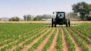
Delivering the 113th inaugural lecture of Ambrose Alli University, Ekpoma (AAU) on the topic “Sensing and Synthesis for advancement: Exploit with Geoinformatics”, Rilwani said the geoinformatics approach needs to be entrenched in the entire food production process by adopting precision Agriculture methods that ensure optimal productivity and environmental sustainability.
Lamenting Nigeria’s food security challenges, Rilwani said, one of the most threatened environments globally is the Niger Delta where oil exploration and exploitation have caused tremendous damage to the environment.
“However bleak this situation may seem for the Niger Delta region there are clearly alternatives that can be implemented to save it from future contamination,” Rilwani said.
“Satelite imagery combined with the use of Geographical Information System (GIS) and indeed geoinformatics can be put to work to quickly identify and track spilled oil.
“To hasten the clean-up of spills, regional clean-up sites along the problem areas could help contain spills more quickly.”