 Follow Us on Google News
 Follow Us on Google Discover
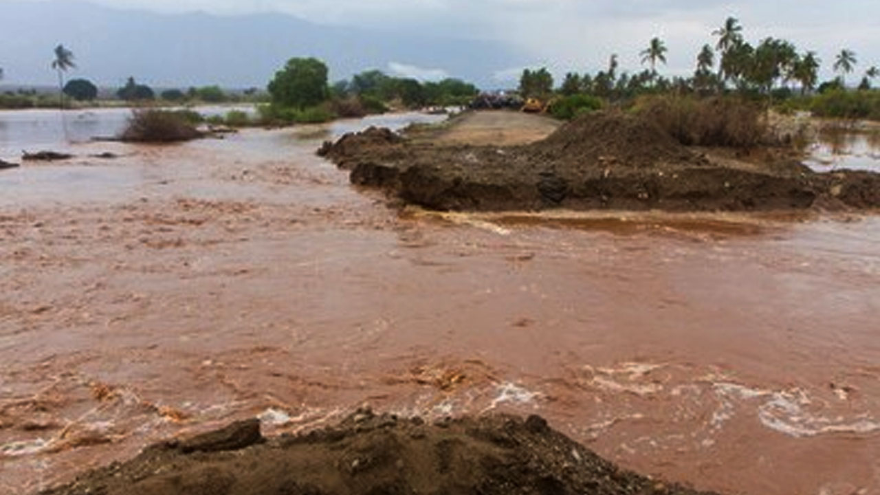
The need for Nigeria to accurately forecast and monitor flood, as well as identify flood hotspot areas to make a quick flood damage assessment would be made easier with the introduction of satellite technology.
Nigeria’s disaster management organisations and hydrometeorological organisations gathered in Abuja on Tuesday, February 9, 2021 for a three-day online regional training workshop on flood monitoring and forecasting modeling.
The training, organised by the Centre for Space Science & Technology Education (CSSTE) was part of the Multi-Scale Flood Monitoring and Assessment Services for West Africa (MiFMASS) project under the Global Monitoring for Environment and Security and Africa (GMES & Africa) Support Programme which seeks to help Nigeria and other West African nations to adopt a new system of utilising satellite technology in better predicting environmental patterns to help mitigate flood.
[ad]
Participants were mainly technical operational staff from the Nigeria Hydrological Services Agency (NIHSA), Nigerian Meteorological Agency (NiMET), Nigerian Emergency Management Authority (NEMA) and the Federal Ministry of Environment.
The training, which holds simultaneously across four other West African countries, aimed at equiping participants with skills and requisite tools to enable them to identify flood-prone areas in order to make a quick flood damage assessment, identify flood monitoring and forecast model, as well as hydrological and hydraulic modeling.
According to the Lead of the CSSTE Consortium, Dr Ganiyu Agbaje, the training was in alignment with one of the major pillars of the GMES & Africa support programme, which was capacity building, and this had led the CSSTE consortium to identify strategic training needs of its collaborating stakeholders on the MIFMASS project with the aim to train and empower them to sustain the product and service outcomes after the lifetime of the programme.
In sustaining the successes of the project, he advised governments to further embrace technology for creative solutions and consider stronger laws to control the indiscriminate dumping of refuse, a major cause of flooding in Africa.
“Human beings are somehow meant to be unruly. So, the society needs to be guided by law, else I can go to your house and just mess it up. If there are no laws to say ‘you cannot dump refuse here,’ then everywhere will be messy. We need to abide by the regulations and rules.
[ad]
“Also, it has been said that the whole of the Netherlands is on a flood lane but they use engineering and other means to ensure that they stay afloat most of the time. We have millions of dollars lost every year to flooding in Africa, forcing ECOWAS to make a policy on disaster risk reduction and more has to be done to ensure that the impact is lower,” he said.
Dr. Agbaje, who also doubles as the Executive Director of the African Regional Centre for Space Science & Technology Education – English (ARCSSTE-E) in Ile-Ife, added that GMES & Africa is a joint initiative of the African Union and the European Union to harness the benefits of earth observation (satellite) data for inherent environmental challenges in Africa and their own MiFMASS project is one of the many ongoing research and development projects under the programme.
He pledged that two more training courses will be held as the consortium prepares for the conclusion of the project and the handover of its products and services to relevant agencies.
“This is the third in the series of our training and we have two more to go,” he said.
[ad]

