Consistent with the national resilient spirit, a Nigerian geoscientist is leveraging advanced research methods to address the growing threat of erosion and ground failure along major roadways in Southeastern Nigeria.
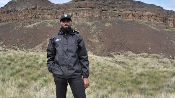
Obinna Ozioko, a geoscientist and doctoral researcher at Portland State University in the United States, specialises in landslide and erosion hazard analysis using Light Detection and Ranging (LiDAR) – a mapping technology that creates high-resolution bare-earth images by stripping away vegetation to reveal the true ground surface. His work focuses on how subtle changes in terrain can signal the onset of hazards long before visible damage occurs.
Ozioko’s research is currently supported by a National Science Foundation-funded Cascadia Region Earthquake Science Centre (CRESCENT) Seed Grant, awarded for innovative work that uses detailed terrain data to understand how ground failures record impacts of past earthquakes.
He says the same tools used to study earthquake-related landslides in the Pacific Northwest can be applied to erosion-prone regions in Nigeria.
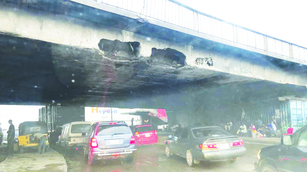
As part of the broader effort, Ozioko recently examined erosion threats along the Opi–Ugwogo Road in Nsukka, Enugu State. Field observations combined with historical satellite imagery show that active gullies are steadily expanding toward the highway.
“In some locations, the gullies are widening by about two metres each year,” he said, adding: “That rate of growth poses a real risk to the long-term stability of the road.”
The analysis tracked changes over 10 years, revealing how areas with no visible erosion developed into deep gullies within a few years, in some cases advancing to within metres of the road edge. Several drainage and control structures installed along the corridor have already failed, largely due to the rapid pace of erosion.
According to Ozioko, the erosion problem is closely tied to the geology of the region. In a 2021 landslide susceptibility study he conducted in the same area, the Ajali Sandstone Formation was identified as vulnerable to shallow landslides. He explained that this same weak ground is also highly prone to gullying when exposed to intense rainfall and poorly controlled run-off.
“Landslides and gullying are not separate problems here,” Ozioko said, noting: “They are different ways the same ground responds to water. Understanding that connection is critical for designing safer roads and drainage systems.”
While satellite imagery can show broad trends, Ozioko emphasised that LiDAR offers a major advantage. It allows researchers and planners to detect small changes in the ground surface and to repeat surveys over time.
“With repeat LiDAR scans, it becomes possible to measure how fast erosion is progressing and identify the most at-risk locations before damage reaches the road,” he explained.
The researcher added that early detection is far more cost-effective than emergency repairs, stating: “Repeated reconstruction and reactive fixes are expensive.”
“Monitoring hazards early allows limited resources to be used where they matter most,” he added. Ozioko called for stronger collaboration between government agencies, universities, and local professionals to integrate advanced mapping tools into routine infrastructure planning.
With the right data and expertise, he said: “Nigeria can move from reacting to erosion disasters to preventing them.”