. Nation unveils first indigenous navigational chart
Over 80 per cent of Nigeria’s waters are yet to be surveyed to modern standards, with more than 90 per cent yet to be charted with recent survey data, according to the Nigerian Ports Authority (NPA).
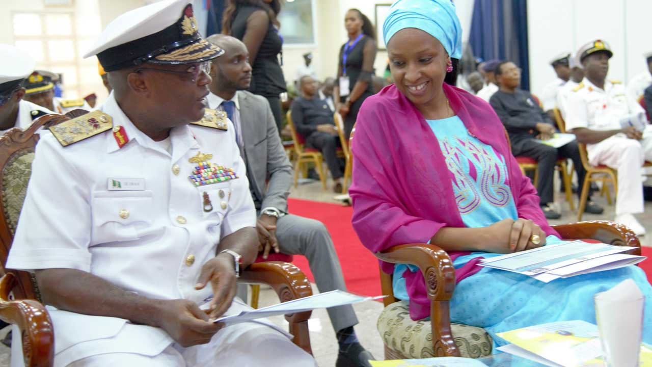
The Managing Director, NPA, Hadiza Bala Usman, who disclosed this at the 2019 World Hydrography Day (WHD) and laughing of the first indigenous chart of Nigerian waters in Lagos, called for more collaborative efforts among all stakeholders, in form of data exchange and joint survey projects, to leverage the local chart production capacity already developed by the Navy.
She lauded the high command of the Nigerian Navy for taking the lead in producing the first navigational chart of the Nigerian waters.
Noting that it is an established fact that the maritime environment has been of immense importance both as a source of livelihood to the citizens and as revenue generation for the government, she said it also moderates the climate and offers an indispensable medium for transporting goods and services across large geographical space.
“In today’s globalized world, there is a growing concern for the future of the maritime environment, particularly as it relates to its safety, security, cleanliness and the protection of its biodiversity. This explains why the United National Sustainable Development Goal 14, lays emphasis on the conservation and sustainable use of the oceans, seas and marine resources. This, therefore, places a demand on littoral nations to evolve measures for efficient management of their marine environment.
“Efficient management of the maritime environment requires thorough knowledge of the entire maritime space in order to evolve workable strategies that would secure, as well as regulate activities within the space for proper conservation and sustainable use of the resources contained therein”, she said.
According to her, “Available statistics showed that only about five per cent of the world’s oceans have been explored with an accuracy of about five kilometer. This implies that the quest to acquire more knowledge about our maritime space will continue to increase in the years ahead in order to guarantee its conservation and sustainable use for the benefit of all mankind. To this end, hydrography offers the first and most reliable tool for further research within the maritime domain.”
Usman said without the basic information, which hydrography provides, it would be difficult to acquire the knowledge necessary for exploration and exploitation of the maritime environment, as well as provide effective management tools for conservation and sustainable use of its resources.
“That is why the steps taken by the Nigerian Navy to produce the first indigenous navigational chart of Nigerian waters is in the right direction. With the Nigerian waters warehousing enormous living and non-living resources, substantial percentage of which are yet to be discovered, there is the need for more charts and other nautical publications to be produced much quicker now that indigenous charting capacity has been developed.
“I expect the Nigerian Navy to continue to provide the necessary lead in this extent in line with its constitutional mandate.
“As a Ports Authority, it is worth mentioning that Hydrography as an endeavor has specifically assisted us in achieving the deepening of our channels, expansion of Marine services to Ijegun Egba channel, successful navigation of the EGINA FPSO, recent completion of remedial dredging of escravos channel, frequent wreck removal along our channels and the building of our simulation center at Dockyard Apapa among others .
“In this regard, it is expedient for all relevant stakeholders to form the right synergy in order to indigenously chart the whole of Nigeria’s maritime space in a much shorter time. This is particularly true because well over 80 per cent of Nigeria’s waters are yet to be surveyed to modern standards with more than 90 per cent yet to be charted with recent survey data,” she stated.
Chief of Naval Staff Vice Admiral Ibok Ekwe Ibas who welcomed guest to the occasion said the Nigerian Navy are the first to produce Navigational Chart for the National Waters and express the hope that the launching of the Chart would take the Nations Maritime Sector to greater height.
Applauding the feat accomplished by the Nigerian Navy, Admiral Ibok stated that the Hydrographic Chart is not only for the safety and security within the Nigerian Territorial Waters but is also critical for information on Sea and Ocean Management for National Development. He told stakeholders that concerning Blue Economy and sustainable growth and harnessing of the vast Ocean Resources, the Chart that has been unveiled today would be of tremendous importance.


