 Follow Us on Google News
 Follow Us on Google Discover
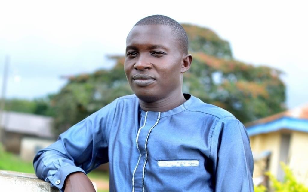
Searching for overlooked innovators
As a journalist covering science and technology, I am often struck by how some researchers quietly drive progress without attracting widespread attention. In 2023, I embarked on a quest to discover figures in Nigeria’s geospatial community who were bridging the gap between traditional surveying and modern geospatial science. Through meticulous research across academic profiles, conference proceedings, and media reports, some names surfaced repeatedly, but I chose to go with one because of his connected and consistent focus: Surv. Michael O. Okegbola. The frequency with which his name appeared (and the breadth of his contributions) suggested that his work resonates across the geospatial field. I compiled this profile to document those contributions and provide context for his recognition in the field.
A diverse educational foundation
Okegbola’s academic journey began with a firm grounding in surveying fundamentals. He earned his National, Higher National, and Professional diplomas in Surveying and Geoinformatics at the renowned Federal School of Surveying in Oyo. He proceeded to the University of Nigeria, Enugu Campus, to obtain his PGD in Geoinformatics & Surveying and pursued an MSc in Geoinformatics & Surveying (majoring in Remote Sensing and GIS). He also completed a B.Sc. in Surveying and Geoinformatics at Lead City University, Ibadan. Unlike many of his peers, who apparently stopped at technical qualifications, he continued to expand his knowledge base, building a toolkit that would allow him to tackle complex spatial problems.
Remote sensing and land-use analysis
One of the earliest pieces of scholarship I unearthed was Okegbola’s master’s thesis on urban sprawl dynamics in Oyo town. Using Landsat imagery, he traced the expansion of built-up areas from 1990 to 2016 and documented how vegetation cover declined. The thesis concluded with a call for afforestation and controlled urban development to prevent further environmental degradation. This focus on land-use management foreshadowed his later work on sustainable development.
In 2022, Okegbola co-authored a study analyzing the spatial expansion of Ogbomoso. By combining Landsat data (1985–2015) with population projections, the team found that the built-up area increased from 3.61% in 1985 to 16.52% in 2015. They projected that this could rise to 27.43% by 2025 and 75.60% by 2045. The paper recommended establishing a monitoring unit under the Surveyor-General, implementing land-use policies to protect farmland, developing satellite towns, and investing local revenues in infrastructure. This research demonstrates his engagement with urban planning issues and his use of remote sensing to inform policy.
Innovative mapping beyond drones
Okegbola’s academic record includes a range of geospatial studies that briefly preceded the wide drone era. In a 2019 paper, he and his team compared high-resolution imagery from a DJI Phantom 4 Pro with 30-m Landsat data over the Akure Forest Reserve. While this study highlighted the advantages of UAVs—their ability to fly below cloud cover, collect data rapidly, and capture features like rocks, roads, and riparian vegetation at very high resolution—the core contribution lay in demonstrating how integrated remote sensing techniques can reveal ecological details that inform conservation strategies. Later research assessed the geometric accuracy of orthophotos generated from field surveys and digital photogrammetry; his team reported horizontal and vertical accuracies of approximately 3 cm and 9 cm, respectively. These figures underscored the potential of close-range photogrammetry for professional mapping, even without a heavy reliance on drones.
Championing education and blended learning
During the COVID-19 pandemic, Okegbola and colleagues spearheaded an innovative blended learning programme for students at the Federal School of Surveying. They delivered 70% of lectures online via WhatsApp and Google Classroom and the remaining 30% face-to-face. Participation rates were high (about 80–90% of students logged in) and test results remained strong, with success rates ranging from 62.4% to over 90%. The study called for government investment in internet infrastructure and support for online learning. Beyond the pandemic, this experience has informed discussions on modernizing surveying education even at the global scale.
Mentoring and professional leadership
Multiple sources highlight Okegbola’s dedication to teaching and professional development. Biographical profiles note that he has over a decade of experience in geomatics engineering and has mentored students while developing curricula. He has integrated big-data analytics and UAVs into geospatial applications, but he also emphasizes the fundamentals of geodesy and remote sensing. His commitment to training aligns with calls from professional bodies for surveyors to broaden their skill sets.
Recognition of broader contributions
While Okegbola is often celebrated for his UAV work, I found that his contributions extend far beyond drone technology. Media profiles (by a mere typing of his name) described him as a geomatics engineer with expertise in satellite image fusion, remote sensing and GIS, and geospatial technology applications, particularly in land and water resource management. He has worked on shoreline analysis, topographic modelling, and environmental monitoring, leveraging high-resolution geospatial data to improve land and water management. Peer-reviewed papers credit him with developing methodologies for shoreline mapping and assessing the geometric accuracy of UAV data. These achievements illustrate his interdisciplinary approach and his influence on both research and practice.
Conclusion
My research into Michael Oketunde Okegbola’s academic profile revealed a multifaceted contributor to Nigeria’s geospatial community. From early remote-sensing studies on urban sprawl to blended-learning initiatives during a national lockdown, his work addresses a broad spectrum of challenges. While his adoption of UAVs helped modernize mapping practices, his core strengths lie in his remote sensing expertise, land-use analysis, geomatics engineering, educational leadership, and policy-oriented research.
As Nigeria continues to urbanize and digitize, the country will benefit from more professionals following his example in practice, combining rigorous science with a commitment to capacity building and public service. This article is presented as an independent journalistic assessment of his academic contributions.

