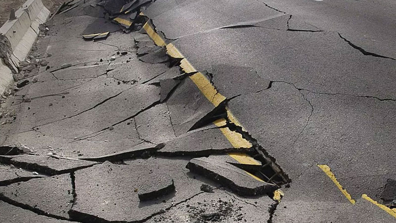
Official response and management of the reported earth tremor in Abuja, which jolted residents in the nation’s capital the other day is remarkable. The natural occurrence could have created more panic but for the quick action of the authorities who doused the fears and reassured the people of their safety.
Besides, a presidential committee set up to assess the possibilities of more impactful occurrences in future was re assuring too. That panel has taken care of perception in some quarters that there is no possibility of an earthquake in Nigeria in the light of the recurrent earth tremors in different parts of the country.
It is also gratifying to note that the presidential panel’s report has been released and its verdict is that Nigeria is prone to earth tremor. The Chairman of the Panel and Director General of National Space Research and Development Agency (NARSDA) Professor Seidu Mohammed confirmed the development in Abuja while submitting his committee report to the Science and Technology Minister, Dr. Ogbonnaya Onu.
Although Nigeria was not generally suspected to be prone to major earthquakes, over the years, several of such minor tremors had been experienced in some parts of the country. And now the story is different, as a threat has been confirmed. But that threat should be seen as an opportunity to get cracking with strategic planning.
Available records show that the first widely reported occurrence of an earth tremor in Nigeria was in 1933. Subsequently, there were other reports in 1939, 1964, 1984, 1990, 1994, 1997, 2000 and 2006. Out of these events, only the tremors, which occurred in 1984, 1990, 1994 and 2000 were instrumentally measured with the intensity ranging from III to VI on the Modified Mercalli Intensity Scale.
The Modified Mercalli Intensity Scale is used for measuring the intensity of an earthquake. It quantifies the effects of an earthquake on the Earth’s surface – humans, objects of nature, and man-made structures on a scale ranging from I (not felt) to XII (total destruction).Based on this scale, the past tremors whose intensity ranged from III to VI varied from Weak (III), Light (IV), Moderate (V) and Strong (VI).
Weak means it was felt quite noticeably by people indoors, especially on upper floors of buildings. Many people do not recognize it as an earthquake. Standing motorcars may rock slightly. Its vibrations are similar to the passing of a truck. Strong on the other hand means it was felt by all with many being frightened. Some heavy furniture moved; a few instances of fallen plaster and damage is slight.
Incidentally, when some of those tremors occurred, there were no functional seismological observatories in Nigeria. But that has now changed with the establishment of a seismographic network managed by the Centre for Geodesy and Geodynamics (CGG), Toro, Nigeria. There is at the moment a network of four operational stations equipped with 24-bit 4-channel recorders and broadband 30-second seismometers.
Efforts are reportedly being made to establish more stations and migrate to real-time collection of seismic data using the general packet radio service (GPRS) technology as well as automatic location of events. The Abuja tremor, according to the National Space Research and Development Agency (NASRDA), was minor and below 3.0 magnitude.
The quake, which occurred on Friday, September 7, 2018 at 5:11:32 am, had a moment magnitude of 2.6 and a local magnitude of 3.0. The foreshocks and aftershocks experienced on Wednesday and Thursday, as well as Friday and Saturday respectively also had a magnitude of less than 3.0, with a focal depth estimated between 10 and 15 kilometers, according to the agency.
“Experts and researchers from Kujama seismic station in Kaduna State, which is the closest to the scene of the incidence visited the area where the vibrations were felt and estimated the intensities of the earthquakes in Jahi and parts of Gwarinpa as II – III on the Modified Marcelli Scale, and in Katampe area it was III while in Mpape it was estimated as III – IV with the strongest shakings observed around Ajegunle in Mpape.’’
The NASRDA team comprising experts from its Centre for Geodesy and Geodynamics in Toro, Bauchi State, visited the site of the incidents on physical investigations to determine the vulnerability of structures in the affected areas to mitigate future disasters.It is not altogether right to dismiss the possibility of an earthquake in Nigeria. The authorities should not foreclose such likelihood without adequate scientific proof.As a matter of fact, no part of the earth is entirely dormant without some form of tectonic movement. The intensity may differ.
Abuja is dotted with massive rock formations. The Aso Rock in Abuja and Zuma rock near Abuja, among many others, are evidence that massive tectonic activities took place in the area millions of years ago.Meanwhile, it has been evident that it was hasty for some authorities to attribute the tremor to rock blasting at Mpape without proper investigation. It is not yet established to what extent such rock blasting activities could trigger earth tremor. Until that is established, it is better to be wary about the kind of information passed to members of the public.
There is need for proper exploratory studies to determine the cause(s) of the tremor. The country should have a national agenda to understudy earth tremors as a proactive step towards preventing disasters. And time to set that agenda is now!
[ad unit=2]


