 Follow Us on Google News
 Follow Us on Google Discover
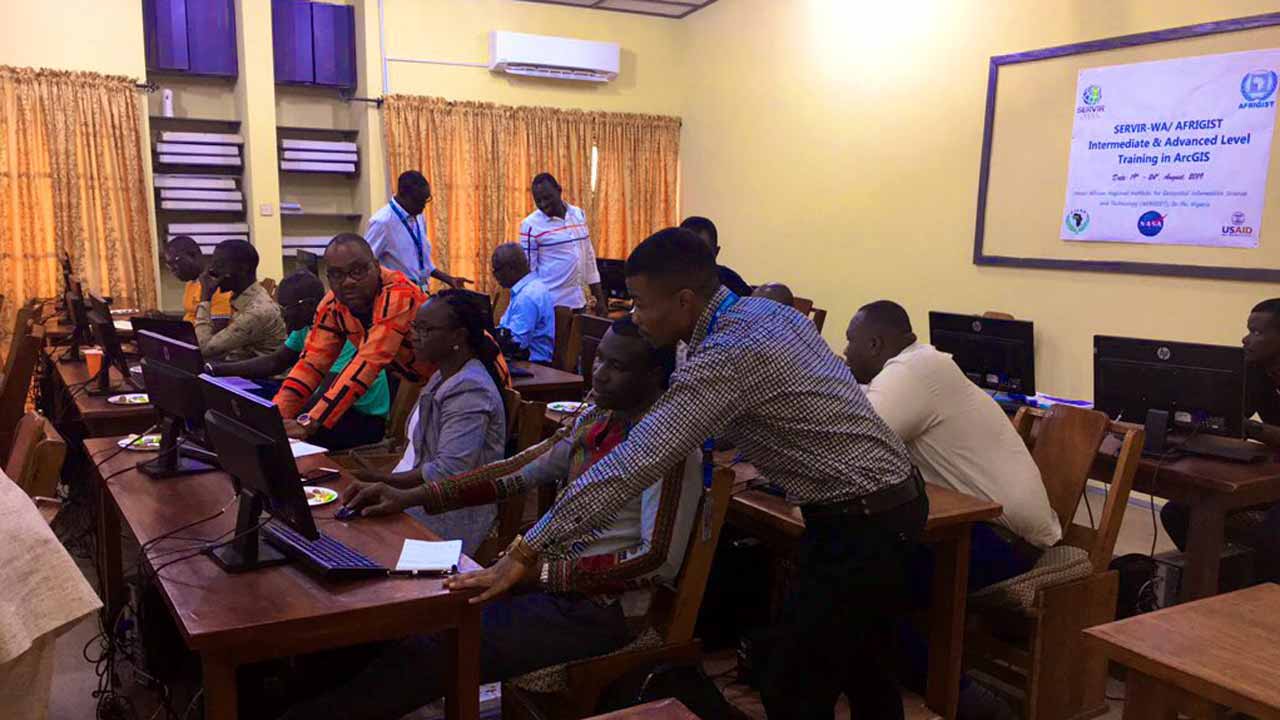
African Regional Institute for Geospatial Information Technology (AFRIGIST) has concluded plans to update and repackage its policy to provide Nigeria and other countries capacity building to meet their geospatial needs.
This would create an application in geographical surveys, environmental studies, natural resources management, mapping, land administration among others, as well as the use of geospatial technology.
The Executive Director, Dr. Adewale Akingbade, who stated this during a visit to Emir of Nasarawa, Alhaji Ibrahim Jibrin in Lafia, emphasised the institute ’s importance to the country and African Continent as a whole.
According to him, the institute is open to all African countries, providing theoretical and practical trainings in Photogrammetry, Remote-Sensing, Cartography and Geographic Information Science (GIS).
Dr. Akingbade expressed delight that the Emir of Nasarawa was knowledgeable in Geographic Information, expressing hope that the royal father would lead in science and technology.He cited Benin, Burkina – Faso, Cameroun, Ghana, Mali, Niger, Nigeria, and Senegal moving on to develop highly skilled manpower needs in terms of geospatial information, and its application as well.
“The policies were formulated and projects implemented devoid of facts, data and information such as the geospatial needed to provide Evidence – based Decision and execution of Programmes.”
Earlier, the Emir of Nasarawa, who is a former Minister for Environment, urged the agency to make useful contributions to GIS and land development in the country.He called on the federal government and relevant authorities to encourage the acquisition of geospatial education, noting that the benefits remain enormous and Nigeria has not fully tapped into it.
[ad]

