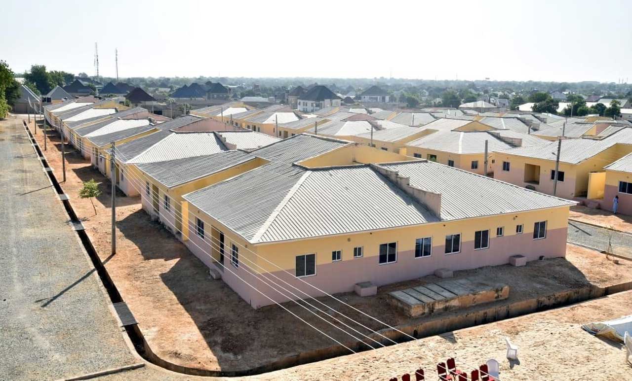
URBAN planners have advocated a unified land-use classification system to address challenges, such as urban chaos, inconsistent development, frequent and contentious demolitions.
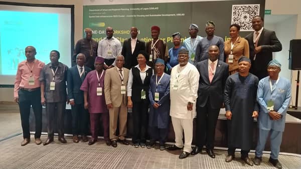
The planners, who spoke at the one-day workshop on “Land Use Classification for Planning Practice in Nigeria,” organised by the Department of Urban and Regional Planning, University of Lagos (UNILAG), in collaboration with the Spatial Data Infrastructure (SDI) Cluster of the Centre for Housing and Sustainable Development, said that the absence of a standardised legally binding framework often results in spatial conflicts and makes effective urban management difficult.
Convener of the workshop, Prof. Muyiwa Agunbiade, described land-use classification as the foundation of effective planning, warning that the absence of a structured system fuels informality and urban chaos.
He explained that planners are attempting to construct complex plans without first agreeing on the basic elements, saying: “It is like trying to speak English without knowing the alphabet. Without clear building blocks, you cannot form meaningful planning outcomes.”
Agunbiade, while addressing concerns that adopting a new classification system could trigger fresh demolitions, said the framework was designed to support regeneration rather than destruction, especially in already built-up or legacy areas.
He said that while conventional planning relies on eight or nine broad land-use classes, the proposed system breaks these down into detailed subclasses arranged hierarchically, allowing planners to identify specific building functions with greater precision.
The Keynote Speaker, Prof. Adamu Hamed, who was represented by the Permanent Secretary of the Niger State Ministry of Lands and Survey, Dr Abdul Husaini, said land-use classification is essential for effective governance, noting that development cannot be managed without proper measurement.
He said the workshop seeks to modernise existing classification systems by automating them through digital coding, enabling centralised and standardised spatial data across states.
Meanwhile, Lagos State Governor, Babajide Sanwo-Olu, commended the planners’ initiative, noting that Nigeria’s rapid population growth and expanding cities have placed unprecedented pressure on land, exposing weaknesses in how land is understood and classified.
The governor, who was represented by Surveyor Ayokunnu Adesina, highlighted that inconsistent land-use interpretation among professionals undermines coordination across government agencies and complicates decision-making.
Sanwo-Olu described the proposed harmonised land-use classification framework, comprising 208 clearly defined subclasses, as a practical solution that would allow planners, policymakers, investors, and institutions to operate with uniform data and shared definitions.
He noted that the initiative aligns with Lagos State’s ongoing digital transformation of land administration through its Enterprise Geographic Information System (e-GIS), which replaces paper-based land records with online platforms for verification, applications, and transparency.