 Follow Us on Google News
 Follow Us on Google Discover
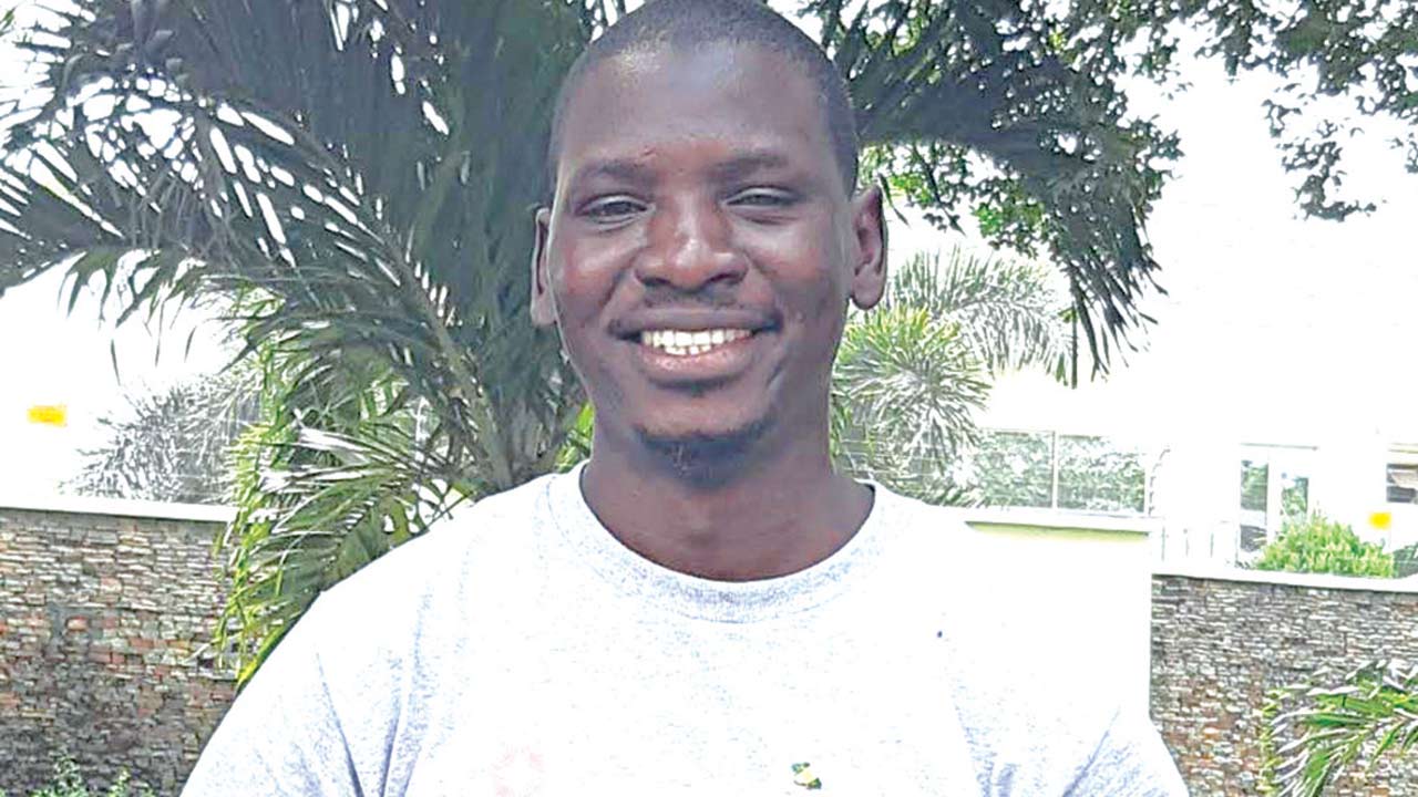
Adamu’s over 7,000 photographs on Google Maps have been viewed more than 11 million times by different people.
According to report: “Over 70 per cent of the Nigeria population live in semi-urban and rural areas, where connecting and accessing quality Medicare is a major challenge, but with Google Maps this becomes less cumbersome.”
Speaking with The Guardian on his role with the Google Maps, he said: “It is a passion I developed after discovering that many Nigerians find it difficult locating important medical information and facilities online. Knowing this, I began to add pictures and important information about hospitals, as well as any medical centre I come across.”
[ad]
He disclosed that the Google Maps is important in Nigeria, because the country has one of the lowest life expectancies in the world, as a result of inadequate access to quality Medicare.
“I have discussed and pitched this idea with other local guides across the globe and they bought into it. As a result, in the last three years, we have held official ‘Hospital edit month,’ where we focus on adding and editing hospital information in Google Maps,” he said.
“So far, I have mapped out over 1,000 medical facilities in Nigeria and hosted over 10 activities in four states across the country. I started listing hospitals on the Google Maps in February 2017. Aside this, I organise the Meetup event every February to bring all the local guides in one locality together to interact with local guides in other localities. This is to improve on the quality of work we upload into Google Maps.”
Adamu revealed that the opportunity provided by Google has helped him in his normal work and also to reach out to areas, which before now would have been difficult for him and this fellow firemen and even the Federal Fire Agency to get to.
He said: “When we get calls from places we are not familiar with, we just keyed the address into the map to locate the place. This enables us to get to the location on time; without hassles. Google Maps always come handy in emergency situations; in fact, it has helped in timely delivery of our services,” he said.
Can this knowledge be applied in other local areas like Borno? Adamu answered in the affirmative, adding that he has gone the extra mile to use his personal fund to form local guides in Ibadan, Gombe, Bauchi and Katsina.
He said: “Sometimes, I go out of my way to use my money to buy gifts and prints stickers to inform people of what we do. We do this not just for private medical facilities, but also for others in most public places and businesses. We also give information on wheelchair accessibility because it is part of the Sustainable Development Goal (SDG).”
[ad]

