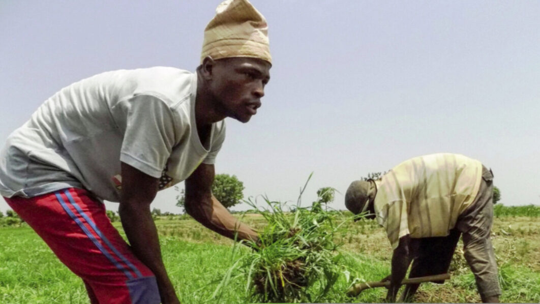
As millions of West African and Sahel smallholder farmers struggle with low yields and soil degradation, further disrupted by climate change, a glimmer of hope has emerged in the form of digital soil health and fertility maps to address the perennial challenges in these regions.
It isa technological innovation poised to revolutionise agriculture in the region.These cutting-edge tools offer precise, data-driven solutions to improve soil management, boost productivityand enhance climate resilience.
By integrating vast datasets from soil samples, satellite imagery, and geospatial analysis, digital soil maps provide a comprehensive understanding of soil health across the region.
This innovation, borne out of the collaborative efforts between organisations such as the International Soil Reference and Information Centre (ISRIC), iSDA soil; the Regional Hub for Fertiliser and Soil Health for West Africa and the Sahel (the Hub), empowers farmers to make informed decisions like selecting appropriate crop varieties, optimising planting schedules and tailoring irrigation strategies to local conditions.
It makes use of tools like AgWise, which leverage these maps, deliver localised advice directly to farmers, enabling them to mitigate climate risks and increase their yields.
Beyond climate resilience, the digital soil maps contribute to environmental sustainability by minimising the overuse of fertilisers. By identifying specific nutrient deficiencies, farmers can apply precise amounts of fertiliser, reducing environmental harm, such as soil acidification and water contamination. This precision farming approach promotes sustainable land management practices, preserving soil health for future generations.
The Deputy Director General, Research for Development at the International Institute for Tropical Agriculture (IITA) and chair of the Hub consortium steering committee, Bernard Vanlauwe, said the release of improved digital soil maps is not just a technological breakthrough— but a testament to the collective resolve of governments, researchers, and farmers to transform agriculture in West Africa and the Sahel.
“Fertile soil is the foundation of food security, and these maps bring us closer to that goal. Agricultural productivity and soil resilience in West Africa and the Sahel aren’t just about food security they are foundational to economic stability and climate resilience,” notes Vanlauwe. According to the report announcing the release of the innovation, the economic impact of digital soil maps is equally significant.
“By adopting data-driven practices, farmers can achieve yield increases of up to 40 per cent and profit gains of 20 per cent. This translates into improved livelihoods for individual farmers and, on a larger scale, reduced food import costs for nations, bolstering regional food security.
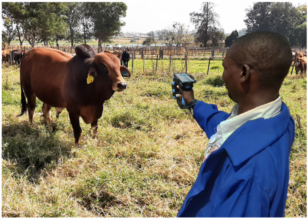
“The development of digital soil maps relies on advanced technologies like artificial intelligence and machine learning, which analyse complex datasets to generate detailed and accurate maps. These tools are complemented by mobile apps and digital platforms that provide user-friendly access to soil data and recommendations for farmers and extension agents.”
The report has it that while the potential of digital soil maps is immense, challenges remain, ensuring high-quality, standardised data collection and sharing is crucial, stating that unified databases and partnerships between governments, research institutions, and the private sector are essential to fill data gaps.
“Additionally, investments in digital infrastructure and capacity-building programmes are necessary to enable stakeholders, from policymakers to farmers, to utilise these maps effectively.
“As the updated digital soil maps are set to launch in early 2025, the regional hub is actively working on expanding mapping efforts, enhancing data accuracy, and supporting the development and adoption of climate-smart agronomy tools like AgWise.
“AgWise is a freely available, open-source tool that provides data-driven, localised, and climate-specific agronomic recommendations. It combines agronomic and geospatial datasets from field trials, market analyses, and open data sources to deliver tailored advice on optimal planting times, cultivar selection, fertiliser types and quantities, and good agronomic practices.
“Currently supporting eight crops, including cassava, maize, rice, potato, and wheat, in key African countries, AgWise integrates soil, weather, and satellite data from sources like ISRIC to contextualise recommendations for specific growing conditions. Designed to empower smallholder farmers, the platform offers actionable insights to improve productivity and profitability, while its open-source nature enables further development by the global agricultural community,” the report read.


