 Follow Us on Google News


 Follow Us on Google Discover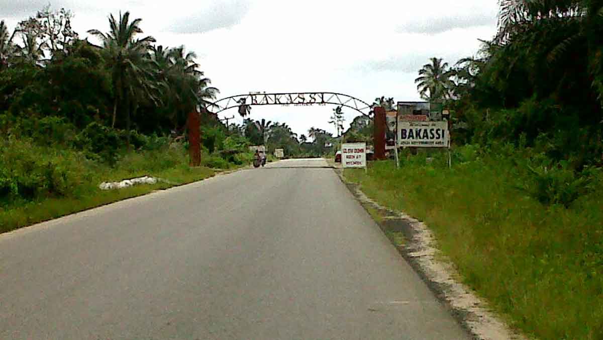
Nearly two decades after the cession of the Bakassi Peninsula to Cameroon, Cross River State may have a renewed opportunity to revisit its case, following the re-engagement of State Surveyors-General as observers and the return of physical field verifications in Nigeria’s interstate boundary resolution process.
Experts on boundary and maritime law who spoke in Calabar at the weekend said the development has reopened a critical window for Cross River to formally present its long-standing geological and hydrographic evidence, which they argue was never fully considered during the International Court of Justice, ICJ, process.
The Bakassi Peninsula was ceded to Cameroon in 2008 following the 2002 ICJ judgment and the subsequent Green Tree Agreement, a decision that left Cross River with the burden of displaced communities and loss of oil wells and coastline.
However, with the National Boundary Commission, NBC, now insisting on field verification and inclusion of State Surveyors-General as observers, stakeholders believe the technical dimension of the dispute can be properly documented.
A former Surveyor-General of Cross River State who pleaded anonymity said the ICJ ruling was largely based on colonial-era Anglo-German treaties and maps, without deep consideration of geological continuity and hydrographic data.
“Cross River has always argued that the natural geological and hydrographic features of the area — the sedimentation pattern, the natural flow of the Cross River Estuary and the offshore morphology — favour its claim. Now that Surveyors-General are part of the process and physical verification is back, the state has a chance to put this scientific evidence on the table for formal acceptance and archiving, even if for future redress,” he said.

Another expert, a professor of Geoinformatics at the University of Calabar, noted that modern surveying technology, including satellite geodesy and bathymetric mapping, can now provide clearer evidence of territorial and maritime boundaries than what was available in 2002.
“The inclusion of State Surveyors-General is not just symbolic. It means states can now contest coordinates on the ground, not just on paper. For Cross River, it is an opportunity to scientifically establish that Bakassi is a natural extension of its landmass. This data will be crucial whether for boundary adjustment, resource control negotiations or for the welfare of the displaced Bakassi people,” he added.
Sources at the State Boundary Commission said the renewed engagement is coming at a time when displaced persons from Dayspring and Ikang in Bakassi Local Government Area are still battling resettlement and livelihood challenges, adding that a technically sound submission by the state would strengthen its case for more federal support and international attention.
It was gathered that the Cross River State Government is expected to constitute a technical team comprising surveyors, hydrographers, historians and legal experts to compile and present the state’s evidence to the National Boundary Commission for onward transmission.
When contacted, an official of the Ministry of Lands said the state would leverage the new process to ensure its position is properly documented “for posterity and justice.”