 Follow Us on Google News



 Follow Us on Google Discover
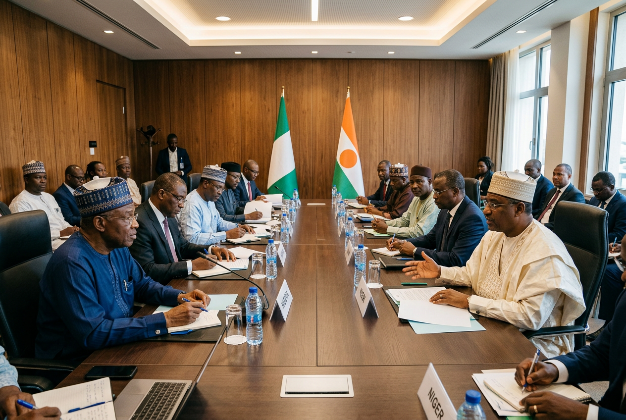
Welcome, and thank you for stopping by. This piece is the conclusion of months of research through colonial treaties and boundary papers, built on years of experience writing about the north and travelling the roads between Kano, Katsina and the border towns beyond. The question I am asked most often, by students in Zaria and uncles at weddings, is why did Niger and Nigeria split? It is a fair question, and the answer begins with a surprise hidden in the long and tangled relationship between these two neighbours.
They were never one country to begin with.
Nobody voted to separate. No divorce papers were signed in Niamey or Lagos. What actually happened is rather like two powerful strangers putting up a fence across a family yard, without asking the family, and then everyone growing up on either side of it as if the fence had always been there. The family in question was never under one roof (Hausaland was a patchwork of rival kingdoms long before any European arrived), but it certainly shared a yard.
Part of the muddle comes from the names, so let me clear that up early. There is the River Niger, which gave its name to both countries. There is the Republic of Niger, our northern neighbour, with its capital at Niamey. And there is our own Niger State, with its capital at Minna, which the state government notes was created on 3 February 1976 and which does not even touch the Republic of Niger. I once watched a visiting journalist from Accra spend a whole afternoon in Minna convinced he had crossed an international border. He had not. He had simply driven up from Abuja.
Over the next few thousand words I will walk you through how the border was drawn, which of the two names came first, the direct answer to the split question, how the two countries compare in size, who carved Nigeria into 19 states (and how that connects to all this), and a practical seven-step project for anyone who wants to map the story properly at home or in a classroom.
Why Is Niger Separate From Nigeria in the First Place?
Start with what existed before the maps.

For centuries, the land on both sides of today’s border was home to the Hausa city-states: Daura, Kano, Katsina, Zazzau, Gobir, Rano and Biram, plus a ring of smaller kingdoms around them. To the east sat the ancient empire of Borno. Further north, the sultanate of Damagaram ruled from Zinder. After 1804, the jihad led by Usman dan Fodio swept most of the Hausa kingdoms into the Sokoto Caliphate, and the old Hausa ruling houses of Katsina and Gobir fled north rather than submit. They regrouped and founded new seats at Maradi and Tsibiri, both now inside the Republic of Niger. So when you stand in Maradi today, you are standing in a town founded by Katsina royalty in exile. The family links were never cut. They were simply relocated.
Then came the Europeans, and with them, rulers and pencils.
After the Berlin Conference of 1884 to 1885 set the rules for carving up the continent, Britain and France raced each other up the Niger. On 5 August 1890 they signed a declaration dividing their spheres of influence along a line drawn from Say, on the Niger, to Barruwa on Lake Chad. Everything south of the line went to Britain; everything north, the dry Sahelian country, went to France. Lord Salisbury famously teased the French in the House of Lords that what they had gained was what farmers politely call “light” soil. Sand, in other words.
The jokes stopped quickly. The two powers came close to war over Borgu in the late 1890s, and the Anglo-French Convention of 14 June 1898 redrew the western end of the line. Six years later, the convention of 8 April 1904 moved it again, this time as part of the wider deal now remembered as the Entente Cordiale. France gave up old fishing rights off Newfoundland, on the other side of the Atlantic, and in return Britain shifted the frontier east of the Niger southward so that French columns had a usable route to Lake Chad.
Read that again. A slice of what is now northern Nigeria moved because of a quarrel about cod.
A detailed delimitation convention followed on 29 May 1906, surveyors planted concrete beacons across the savannah, and London and Paris formally approved the finished line on 19 February 1910. The concrete is still there, mostly. At a joint meeting of boundary experts in Abuja, the National Boundary Commission reported that the two countries had reconstructed 129 of the 148 main pillars inherited from the colonial surveyors, and the joint commission’s secretary added that this was the only one of Nigeria’s land borders never to have seen armed conflict between the two states. I find that detail quietly moving. The fence was imposed, but the neighbours never fought over it.
What turned a line on paper into two different countries was what happened on each side of it over the following fifty years.
On the British side, Lord Lugard ran Northern Nigeria through the emirs under the system called indirect rule, schools taught in English, and money came in British West African pounds. On the French side, Niger stayed under military command until 1922, chiefs were treated as administrators answerable to French officers, schooling was in French, and the currency became the franc and later the CFA franc. The anthropologist William Miles spent a year living in twin Hausa villages on either side of the border in the 1980s and found the difference still visible in everything from market habits to the way local chiefs exercised authority.
I have felt that difference myself. The first time I crossed at Jibia on the road to Maradi, the Hausa in the air did not change at all. The greetings, the jokes, the price haggling over a sack of onions, identical. But the road signs switched to French, the policemen’s caps changed shape, and the money in my pocket suddenly needed a moneychanger under a neem tree. Same people. Different paperwork.
Today the border runs for about 1,608 kilometres, and seven Nigerian states sit along it: Sokoto, Kebbi, Zamfara, Katsina, Jigawa, Yobe and Borno. The two governments still maintain it together. At the December 2025 session of the joint commission in Zinder, officials adopted a work plan for 2026 after confirming that 40 new intermediate pillars had gone up between main pillars 108 and 110, with 17 more re-evaluated along the Maigatari corridor in Jigawa. Over a century after the surveyors left, both sides are still filling in the gaps between the colonial beacons so that farmers know which field sits in which country.
Who Was First, Niger or Nigeria, as a Name and as a Nation?
This is my favourite of the four questions, because the honest answer is “it depends what you mean by first,” and each meaning gives a different winner.
As a word, the river came first by a very long way. Classical geographers such as Ptolemy wrote of a river called the Nigir, though nobody can be sure it was even the same river, and scholars still argue about where the name comes from. You will hear that it derives from the Latin for black, or from a Tuareg phrase meaning river of rivers, or from a local term for the river. None of these explanations has ever been settled, and I would treat anyone who tells you otherwise with polite suspicion.
As a colonial name, the British got there first. The Royal Niger Company received its royal charter in 1886, the Niger Coast Protectorate was proclaimed in 1893, and on 8 January 1897 the journalist Flora Shaw proposed the shorter name “Nigeria” in The Times of London. The Protectorates of Northern and Southern Nigeria came into being on 1 January 1900, and Lugard merged them into one Colony and Protectorate of Nigeria on 1 January 1914.
The French territory took longer to acquire its name. It began on 23 July 1900 as the Military Territory of Zinder, was renamed the Military Territory of Niger in 1910, and only became the Colony of Niger in 1922, by which point Nigeria had already existed as a single colony for eight years.
As an independent state, though, Niger wins.
Niger declared independence from France on 3 August 1960, with Hamani Diori as its first president. Nigeria followed on 1 October 1960, fifty-nine days later, with Sir Abubakar Tafawa Balewa as prime minister. So if your cousin insists at Sallah lunch that Nigeria came first, you can both be right, and you can both be wrong, which is the best possible outcome for a family argument.
One small courtesy while we are on names. A citizen of Niger is a Nigerien, not a Nigerian, and in French the country is pronounced roughly “nee-ZHAIR,” not “NAI-jer.” A cloth trader from Maradi at Kantin Kwari market in Kano corrected me on both points years ago, very kindly, and then sold me a bolt of wax print at a price I am still not sure was fair.
So, Why Did Niger and Nigeria Split? The Direct Answer
Here is the paragraph you came for.
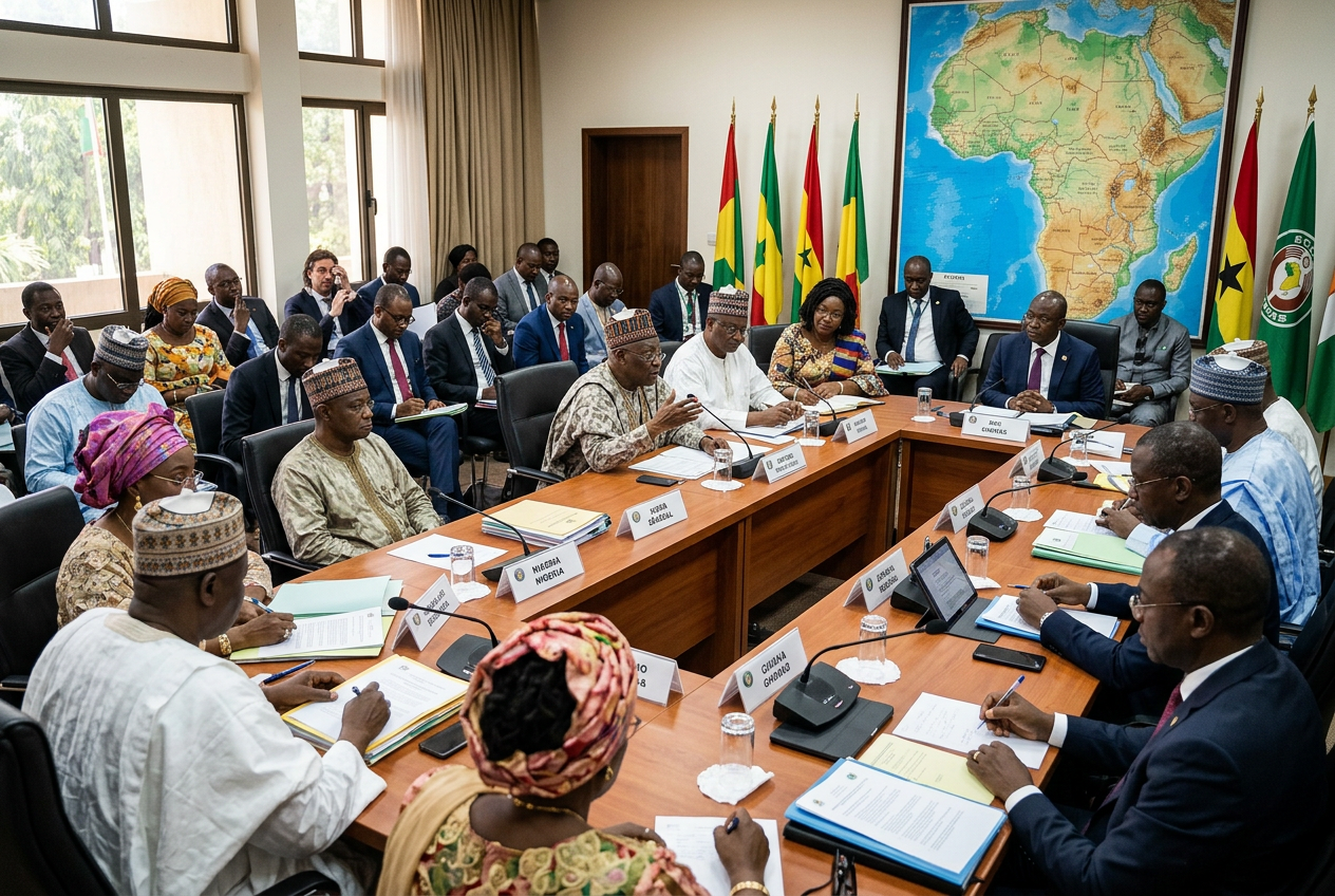
Niger and Nigeria did not split, because they were never a single country. The land they now occupy, including the old Hausa kingdoms, the Sokoto Caliphate and the borderlands of Borno, was divided between Britain and France in a series of colonial agreements between 1890 and 1910, chiefly the Say to Barruwa declaration of 5 August 1890, the Anglo-French Convention of 14 June 1898, the convention of 8 April 1904, the delimitation convention of 29 May 1906 and the final approval of the line on 19 February 1910. Britain built its side into the Colony and Protectorate of Nigeria in 1914, ruled through the emirs in English, while France built its side into the Colony of Niger in 1922, part of French West Africa, ruled directly in French. When independence came in 1960, each colony became its own state inside the borders it already had, Niger on 3 August and Nigeria on 1 October, and the Organisation of African Unity’s 1964 decision to respect colonial frontiers kept it that way. The people on both sides, most of them Hausa, never stopped trading, marrying and visiting across the line, which is why the separation feels so recent and so artificial to many families in Katsina, Kano, Maradi and Zinder.
The entities that travel with that answer are worth keeping in your head:
- The River Niger, which named both countries and Niger State besides
- Hausaland, the shared cultural heartland that the border cuts through
- The Sokoto Caliphate, founded after 1804, whose reach crossed the future line
- The Royal Niger Company and Lord Lugard on the British side
- French West Africa and the Military Territory of Zinder on the French side
- The Nigeria-Niger Joint Commission, which still manages the relationship today
Has the relationship been smooth since? Not always.
After the military seized power in Niamey in July 2023, Nigeria, then chairing ECOWAS, backed sanctions, closed the border and cut the electricity it supplies to its neighbour. The sanctions were lifted in February 2024, but Niger, Mali and Burkina Faso left ECOWAS, with the exit taking effect on 29 January 2025, although ECOWAS asked members to keep honouring their citizens’ visa-free movement until further notice. In March 2025, Niger’s new charter made Hausa the national language, with French and English demoted to working languages, which tells you something about where the country now feels its identity lives. And when gunfire was reported around Niamey’s airport this August, Abuja chose its words carefully, as Amarachi Okonkwo reported in her piece on the Federal Government’s call for restraint after the reported attempt, stressing the shared history and fraternal ties between the two countries.
Governments quarrel. Grandmothers in Daura and Zinder keep sending each other kola.
Which Country Is Bigger, Niger or Nigeria, by Land and by People?
This one has a clean answer, with a twist.
By land, Niger is bigger, and comfortably so. It covers about 1,267,000 square kilometres, which makes it the largest country in West Africa, while Nigeria covers about 923,768 square kilometres. Niger is roughly 37 per cent larger. But the large majority of that territory lies in the Sahara, and most Nigeriens live in a narrow band along the southern edge of the country, much of it within a day’s drive of our own border.
By people, Nigeria is in another league entirely. United Nations estimates put Nigeria at roughly 237.5 million people in 2025 against roughly 27.9 million for Niger, so there are about eight and a half Nigerians for every Nigerien.
Think of it rather like comparing a sprawling family farm in the Sahel with a face-me-I-face-you compound in Mushin. The farm has far more land. The compound has far more people, far more noise, and far more pots on the fire.
Niger and Nigeria Side by Side: Size, Population and Key Dates
| Measure | Republic of Niger | Federal Republic of Nigeria |
|---|---|---|
| Total area | About 1,267,000 km² | About 923,768 km² |
| Population (UN estimate, 2025) | About 27.9 million | About 237.5 million |
| People per km² (approximate) | About 22 | About 257 |
| Capital | Niamey | Abuja |
| Colonial ruler | France | Britain |
| Became a single colony | 1922 (Colony of Niger) | 1914 (amalgamation) |
| Independence | 3 August 1960 | 1 October 1960 |
| National or official language | Hausa (national since March 2025); French and English as working languages | English (official); Hausa, Yoruba and Igbo widely spoken |
| Currency | West African CFA franc | Naira (₦) |
| First-level divisions | Seven regions plus the capital district of Niamey | 36 states plus the Federal Capital Territory |
| Shared border | About 1,608 km | About 1,608 km |
Read across the table and the pattern is clear: Niger is bigger on the map, but Nigeria is far bigger in almost every measure that involves people, from population to density to the number of federating units. The density figures are my own division of the population estimates by total area, so treat them as approximations rather than official statistics.
Who Divided Nigeria Into 19 States, and Where Does Niger State Fit In?
I include this question because it comes up in the same breath as the split question surprisingly often, usually from people who have heard that Nigeria was “divided” and assume the two stories are connected. They are not, but the answer explains why we have a Niger State at all.
Nigeria was divided into 19 states by General Murtala Ramat Mohammed, who announced the new structure in a national broadcast on 3 February 1976.
Murtala had come to power after Gowon was overthrown in July 1975. On 7 August 1975 he set up a panel under Justice Ayo Irikefe to study demands for new states, and the panel handed in its report on 23 December 1975. Six weeks later, the 12 states Gowon had created on 27 May 1967 became 19. At the same time, a separate panel led by Justice Akinola Aguda recommended moving the capital from Lagos to the centre of the country, which is how Abuja was born, on land carved mostly from what was then Niger State. Ten days after the broadcast, on 13 February 1976, Murtala was assassinated in Lagos during an abortive coup. He was 37.
Gregory Austin Nwakunor’s Guardian feature marking the anniversary of his death is a good reminder of how much one short tenure reshaped the country (his face, after all, still looks out at you from every ₦20 note).
The 19 states of 1976 were Anambra, Bauchi, Bendel, Benue, Borno, Cross River, Gongola, Imo, Kaduna, Kano, Kwara, Lagos, Niger, Ogun, Ondo, Oyo, Plateau, Rivers and Sokoto.
A word of professional caution here. You will see different lists of “the seven new states” in different sources, some naming Anambra and others naming Borno, because several of the old 12 were split and renamed at the same time and writers disagree about which counts as new. The total of 19 is not in dispute. The cleanest way to think about it is that the 1976 exercise replaced 12 states with 19, rather than simply adding seven to the pile.
Niger State came out of the old North-Western State, which was split into Sokoto and Niger. It was named after the river that flows through it, home to the Kainji, Jebba and Shiroro dams, and it has no border with the Republic of Niger at all. Its only international frontier is with Benin Republic, to the west.
The carving did not stop in 1976. General Ibrahim Babangida took the number to 21 in 1987 and to 30 in 1991, and General Sani Abacha created the last six on 1 October 1996, giving us the 36 we have today. Demands for more never really ended, and Eric Teniola’s recent column on the long fight for new states walks through every round from Gowon to Abacha with the patience of a man who watched much of it from inside the Presidency.
Seven Steps to Mapping the Niger and Nigeria Story on Your Own Wall
When my nephew in Kaduna was given a JSS history project on the border last year, we built a map wall together over two weekends. It turned out to be the best history lesson either of us had in years, and a rather handsome thing to hang in a sitting room. Here is the method, with real measurements and honest costs.
- Choose a map at the right size and scale. An A2 sheet measures 420 by 594 millimetres in portrait, and a map of Niger and Nigeria together printed at roughly 1:5,000,000 fits both countries with room for labels, while the 1,608-kilometre border becomes a line about 32 centimetres long, big enough to label every border state without crowding.
- Get it printed properly. A laminated colour A2 print at a business centre in Yaba, Wuse or Zoo Road will typically cost somewhere around ₦8,000 to ₦15,000 at the time of writing, and matt lamination is worth the extra few hundred naira because it stops glare from your ceiling light.
- Draw the 1890 Say to Barruwa line first, as a dashed pencil line, then trace the final 1906 to 1910 boundary over it in solid ink. The gap between the two lines is the territory that changed hands in the treaty bargaining, and seeing it with your own eyes makes the history land far better than any textbook paragraph.
- Use a restrained colour scheme. I suggest a warm terracotta wash for the British side and a cool slate blue for the French side, with the old Hausa kingdoms marked in a single neutral ochre on a sheet of tracing paper laid over the top, so you can lift the colonial layer away and see the older map underneath.
- Pin the seven Nigerian border states (Sokoto, Kebbi, Zamfara, Katsina, Jigawa, Yobe and Borno) and their twin towns across the line, such as Jibia and Maradi, Illela and Birni N’Konni, and Maigatari and the road towards Zinder. Small brass map pins at around ₦1,500 for a box of 50 are perfectly adequate.
- Add a timeline strip along the bottom edge. If you allow 3 millimetres for every year from 1890 to 2026, the strip comes to about 408 millimetres, just inside the 420-millimetre width of a portrait A2 sheet, and you can mark 1890, 1898, 1904, 1906, 1910, 1914, 1922, 1960, 1976 and 2025 at the right points.
- Frame it and hang it well. A simple black or natural wood frame with glazing will run from roughly ₦25,000 to ₦50,000 depending on the moulding, and the centre of the map should sit at about 145 centimetres from the floor, which is eye level for most adults; keep it off any wall that takes direct afternoon sun, because harmattan dust and UV light are hard on printed colour.
My nephew’s teacher gave him full marks, though I suspect the tracing paper overlay did most of the persuading.
Final Thoughts: Why Did Niger and Nigeria Split, Really?
So, why did Niger and Nigeria split? The short answer, and the one I hope you will repeat at the next family gathering, is that they never did. Britain and France drew a line through Hausaland between 1890 and 1910, bargaining over sand, river access and, at one memorable point, Newfoundland fish. Each side then grew up under a different flag, a different language and a different currency, and in 1960 each colony became its own country within the borders it already had.
Nigeria came first as a name and as a single colony. Niger came first to independence, by fifty-nine days. Niger is the bigger country on the map, while Nigeria holds roughly eight and a half times as many people. And our own 19-state moment, which gave us Niger State, belongs to General Murtala Mohammed and the broadcast of 3 February 1976.
What strikes me most, after all these months of reading treaties and walking border markets, is how little the line has changed the people. The trader in Maradi still prices in two currencies. The wedding guests in Daura still cross with gifts. The politics will rise and fall, as politics does, but the family yard is still there under the fence.
If you want to take this further, here are three things worth doing:
- Read one of the original boundary agreements, even just the 1906 delimitation text, and trace it on a map yourself rather than relying on summaries
- Build the A2 map wall described above, starting with the dashed 1890 line, and use it to teach a child or a curious friend
- Next time you meet someone from Niger, ask them which town their family came from, because there is a fair chance it connects to a town on our side of the line
Related Articles
If the story of how Nigeria got its name caught your attention, my earlier piece asking what happened in Nigeria during one quiet but decisive colonial year covers Flora Shaw’s 1897 suggestion, Lugard’s amalgamation and the generation that began to imagine a nation inside these borders. And because the Hausa are the people the border cut through, my study of the country’s largest ethnic group and how its numbers are estimated explains who the Hausa are, where they live in Nigeria today, and why their language now carries official weight on both sides of the line.
Key Takeaways
- Niger and Nigeria were never one country; Britain and France divided the region between 1890 and 1910, and each colony became independent separately in 1960
- Niger is about 37 per cent larger by land, but Nigeria has roughly 237.5 million people against Niger’s 27.9 million, about eight and a half times as many
- General Murtala Mohammed divided Nigeria into 19 states on 3 February 1976, creating Niger State, which is named after the river and does not border the Republic of Niger
Frequently Asked Questions: Why Did Niger and Nigeria Split?
Why did Niger and Nigeria split?
Niger and Nigeria did not split, because they were never a single country in the first place. Britain and France divided the region between them through colonial agreements signed between 1890 and 1910, and each colony became a separate independent state in 1960.
Why is Niger separate from Nigeria?
Niger is separate from Nigeria because France colonised the northern territory while Britain colonised the southern one, and the two powers ran their colonies with different languages, laws and currencies. At independence in 1960, both countries kept the colonial borders they had inherited rather than merging.
Who divided Nigeria into 19 states?
General Murtala Ramat Mohammed divided Nigeria into 19 states in a national broadcast on 3 February 1976, acting on the report of a panel led by Justice Ayo Irikefe. He was assassinated in an abortive coup just ten days later, on 13 February 1976.
Which country is bigger, Niger or Nigeria?
Niger is bigger by land area, covering about 1,267,000 square kilometres against about 923,768 for Nigeria. Nigeria is far bigger by population, with roughly 237.5 million people compared with about 27.9 million in Niger.
Who was first, Niger or Nigeria?
Nigeria came first as a colonial name and as a single colony, with the name proposed in 1897 and the amalgamated colony created in 1914, while the French Colony of Niger was only established in 1922. Niger, however, became independent first, on 3 August 1960, fifty-nine days before Nigeria’s independence on 1 October 1960.
Were Niger and Nigeria ever one country?
No, Niger and Nigeria have never been one country, although the land on both sides of the border was once home to linked Hausa kingdoms and parts of it fell under the Sokoto Caliphate. The modern countries were shaped by separate French and British colonial administrations from the 1890s onwards.
Who drew the border between Niger and Nigeria?
The border was drawn by Britain and France through a series of agreements, beginning with the declaration of 5 August 1890 and refined by conventions in 1898, 1904 and 1906. London and Paris formally approved the final demarcated line on 19 February 1910.
How long is the border between Niger and Nigeria?
The border between Niger and Nigeria runs for about 1,608 kilometres, from the River Niger in the west to Lake Chad in the east. Seven Nigerian states sit along it, namely Sokoto, Kebbi, Zamfara, Katsina, Jigawa, Yobe and Borno.
Why do Niger and Nigeria have similar names?
Both countries take their names from the River Niger, which flows through western Niger and then through Nigeria to the Atlantic. The name Nigeria itself was proposed by the journalist Flora Shaw in The Times of London on 8 January 1897.
Do people in Niger speak Hausa like northern Nigerians?
Yes, Hausa is the most widely spoken language in Niger, especially around Maradi, Zinder and Tahoua, and it became the country’s national language under a charter published in March 2025. A trader from Kano can usually do business in Maradi without changing language, even though the official paperwork on each side is different.
Is Niger State the same as the Republic of Niger?
No, Niger State is one of Nigeria’s 36 states, with its capital at Minna, while the Republic of Niger is a separate country with its capital at Niamey. Niger State was created on 3 February 1976 and is named after the river, and it does not share a border with the Republic of Niger.
Is Niger still a member of ECOWAS?
No, Niger’s withdrawal from ECOWAS took effect on 29 January 2025, alongside the withdrawals of Mali and Burkina Faso. ECOWAS nonetheless asked its members to keep allowing visa-free movement for citizens of the three countries until further notice.