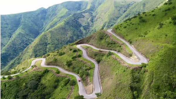
The Mambilla Plateau is a high grassland plateau with an average elevation of about 1,524 metres (5,000 ft) above sea level, making it the highest plateau in Nigeria. The plateau, which has an undulating landscape free of insects, also has temperate climate within a tropical region.
Located in the highland region of Taraba State of Nigeria, Mambilla Plateau houses Chappal Waddi Mountain considered as the highest point in Nigeria and probably in West Africa, with an average height of about 2,419 metres (7,936 ft) above sea level. As soon as one reaches the top of the mountain, the hot weather witnessed at the foot of the mountain disappears and you will be greeted by fresh and very chilled breeze blowing across the plateau.
The Mambilla people of Nigeria and Cameroon live on the Mambila Plateau (in Taraba State in Nigeria) and on the Tikar Plain in Cameroon, as well as in several small villages further north towards the town of Banyo. These people regard themselves as a group with a common identity.
At an altitude of some 700 m, these villages live in a different ecological zone where oil palms grow and gallery forest is found. The Mambila language is a congeries of dialects and related languages.
So, when next you are in Tarabe, make effort to see Mambilla Plateau


